Multi-modal versatility
Work across drone photos, full-motion video, and LiDAR point clouds in one project to cover terrain at any altitude.
Build aerial perception models on data you can trust.
A professional platform for annotating aerial imagery into precise, ML-ready training datasets.
Monitor crop health, pinpoint stress zones, and optimize irrigation and fertilization from ML-ready aerial datasets.
Work across drone photos, full-motion video, and LiDAR point clouds in one project to cover terrain at any altitude.
Pre-label recurring objects like rooftops, roads, and vehicles, then let interpolation carry them across video frames.
Validation and multi-level review flag mislabeled parcels and missed structures before data ships.
Split large survey areas between annotators and reviewers; role-based access keeps big mapping jobs in sync.
Add custom classes for your survey targets and push finished data straight to your GIS or ML stack via API.
Keep sensitive site and infrastructure imagery confidential, with on-premise deployment when data can't leave your servers.

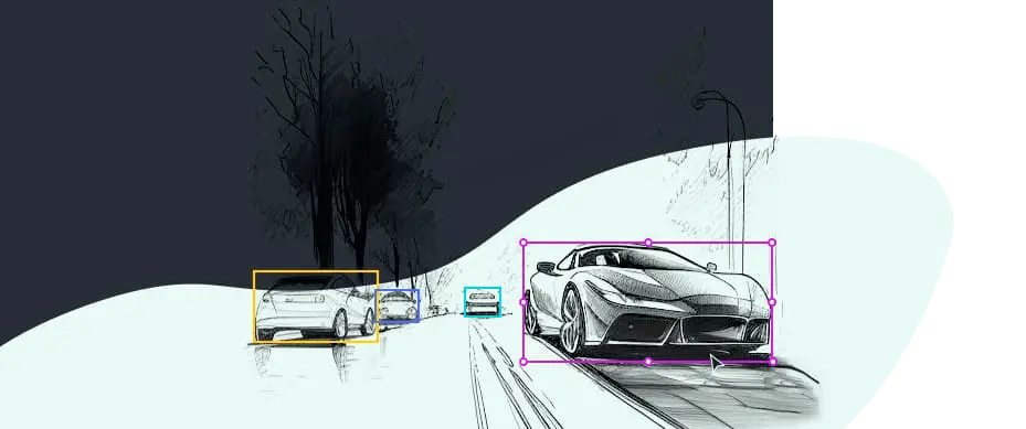
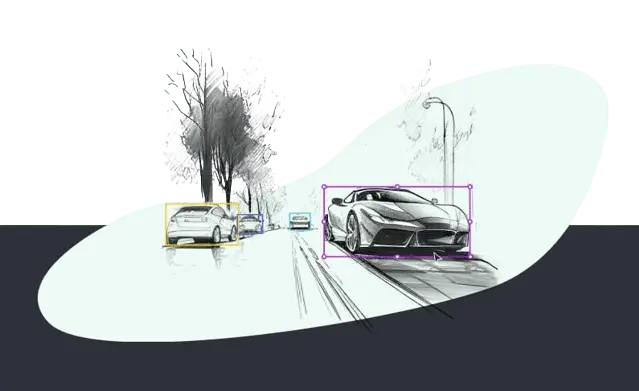
Rectangular boxes for detecting and classifying objects such as vehicles, buildings, and infrastructure in aerial imagery.

Rotated rectangles that capture the position, size, and orientation of objects like aircraft, ships, or angled structures.

Flexible shapes that outline irregular objects like building footprints, land parcels, water bodies, and construction sites.

Single points that mark small objects or key locations such as poles, vehicles, and reference landmarks across large aerial scenes.

Trace linear structures such as roads, railways, rivers, power lines, and field boundaries.

3D boxes that estimate the volume and position of buildings, vehicles, or drones in aerial scenes.

Label LiDAR and photogrammetry data to build accurate 3D models of terrain, urban areas, and infrastructure.

Pixel-level classification of aerial imagery into classes such as land, vegetation, water, roads, and urban areas.

Pixel-wise separation of individual objects in the same class, so each building or tree is marked separately.

Precise raster masks for complex shapes like coastlines, forests, and dense urban textures.

3D surface reconstruction for detailed digital twins of cities, terrain, and large environments.

A mix of annotation methods built around your specific aerial mapping or inspection task.
Book a demo and we'll scope your aerial dataset with you.
Custom solution? hello@keylabs.ai